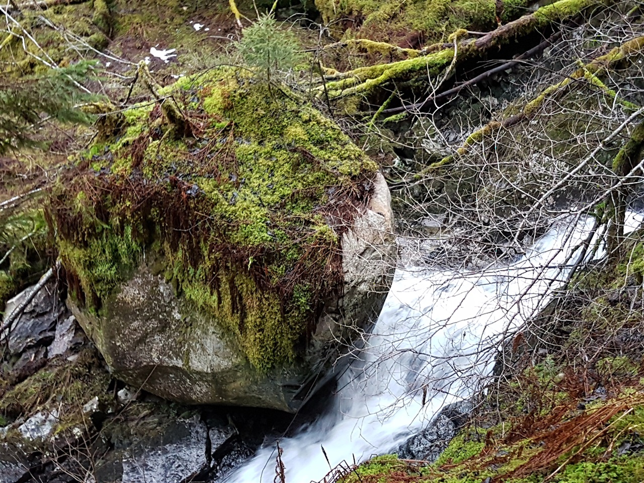
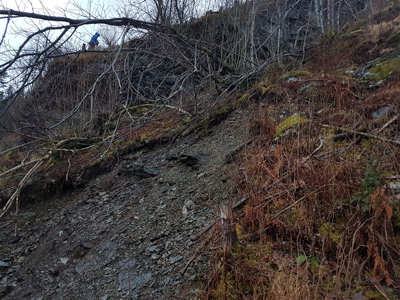
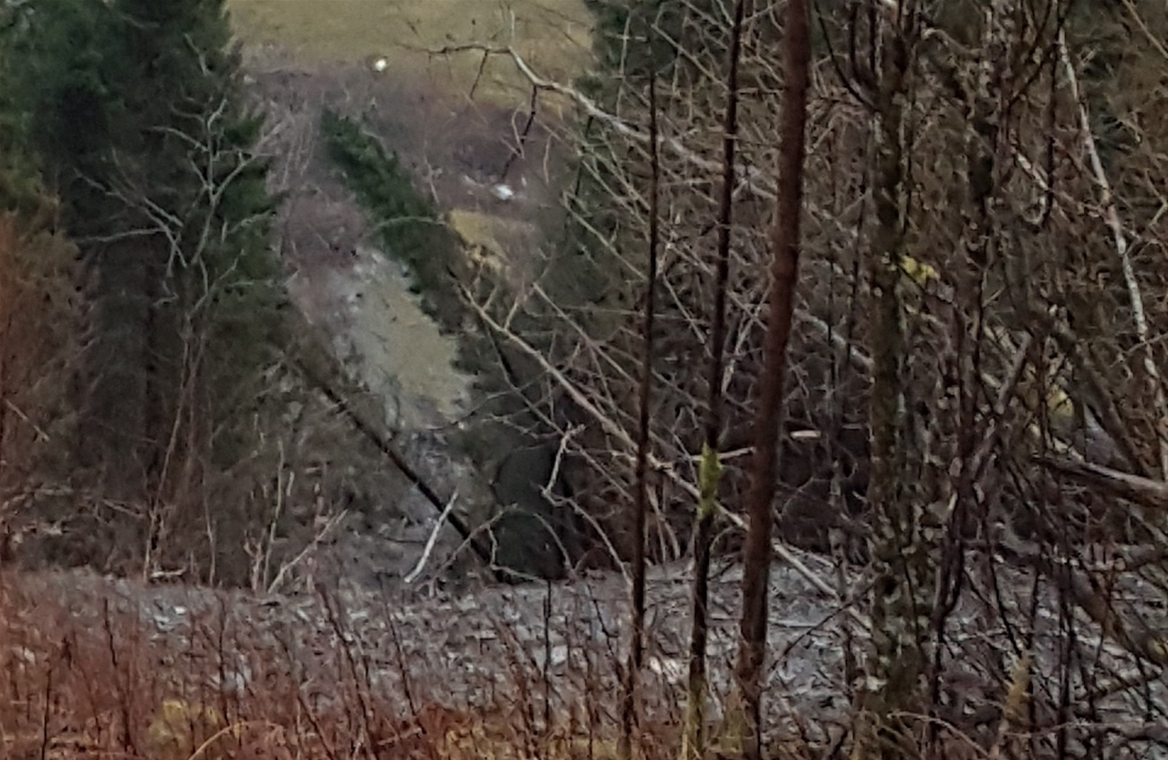
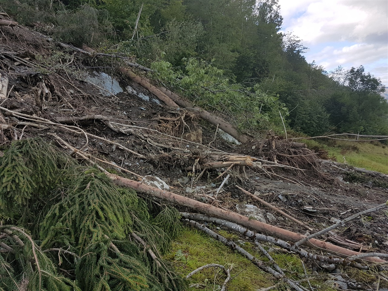
Mudslide in combination with rockslide, can be extreme hazardous. Water sampling reduces friction, and gravity forces become greater than the friction forces.
A sudden happening, like water or snow sampling in a local area of heavy mud layers, or rocks slipping away, can be the triggering event that makes the mudslide escalate downhill. Mean terrain angle of chance for slide, is mainly 37-38 degrees.
GEOHAZARDS is a common part of Hardanger daily life.
Floods in rivers, snow and mud avalanches and rockfalls are the dominating geohazards.
Roads are damaged and closed, from time to time.
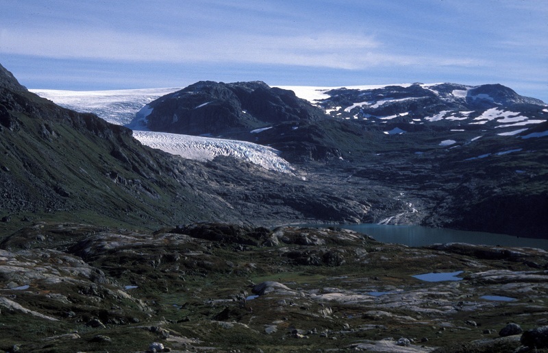
Jøkulhlaups were events of larger extent in previous periods,, and certainly Simadal valley in Eidfjord was often prone to floods due to the Hardangerjøkul melting and extreme accumulation of precipitation.
Mitigations like dams and tunnels, has changed the risk.
The years 1895 and 1936 are well known for these events, the jøkulhlaups, followed by huge floods in the valley river, damaging farms and farmlands, roads, bridges and houses..
By luck, no one got lost..
In 1936, in August, a natural dam broke in front of Demmevatn Lake to the northwest of the Icefall, above Rembesdal Lake. Water from intensive summer melting suddenly made its way through and below the ice and flooded into the lake and further with the Simadal Valley river . The entire valley bottom was reshaped....
This happened on a warm summer day with clear sky. People escaped from the rising flood.
Later, Rembesdal Lake has been regulated and water draining tunnels from the Demmevatn made larger , to ensure limited meltwater build up.
